N Oconee River Greenway
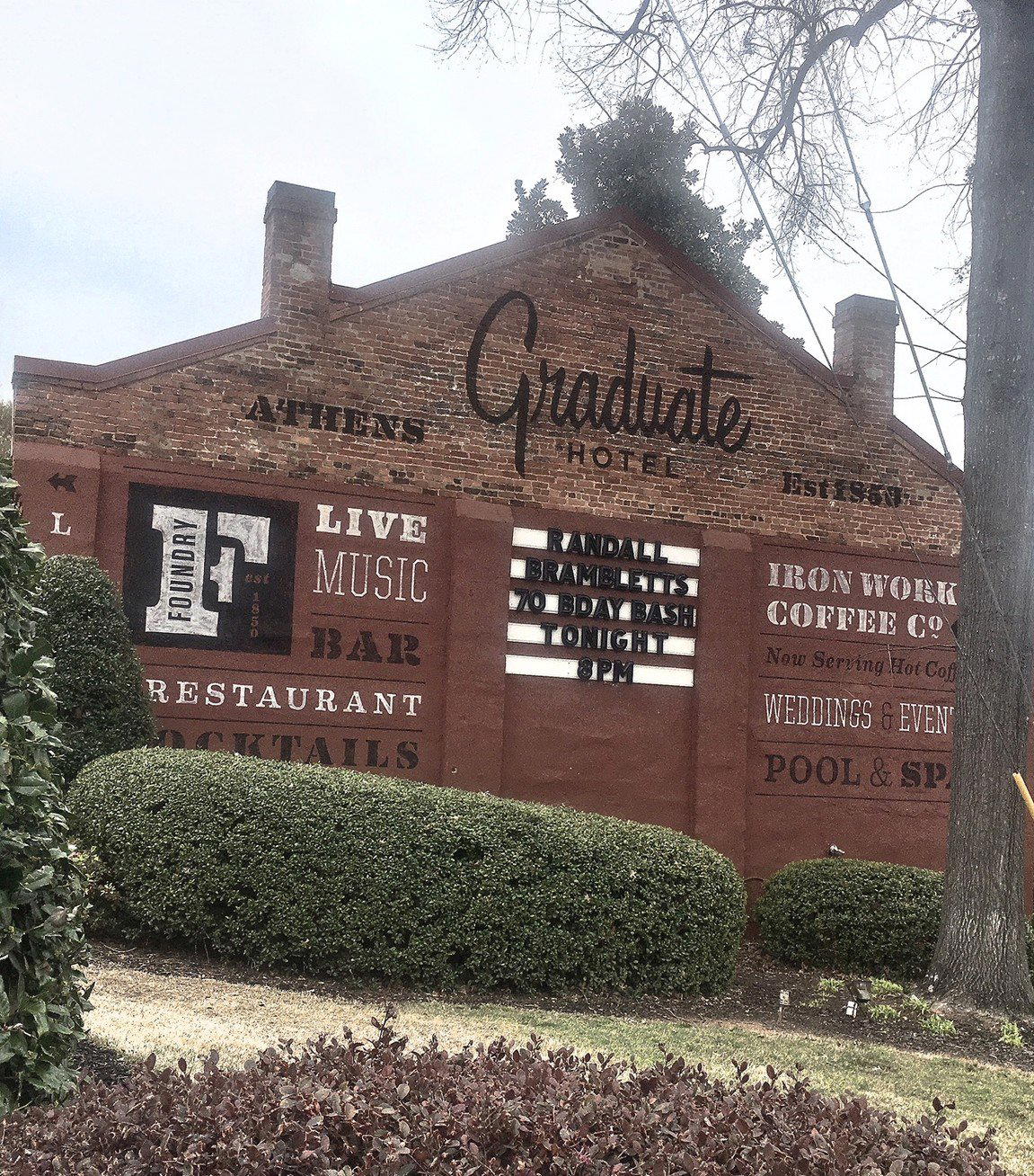
"Railroad Trestle from R.E.M.'s 'Murmur' Album R.E.M. was among the leading musical acts to make it out of the small town of Athens, Georgia, and out of the whole state. The band made the area famous, especially when they chose a specific photo for the back cover of their 1983 album "Murmur." This railroad trestle was built as a part of the Georgia Railroad line and has been threatened to be torn down numerous times. But you'll find students and urban explorers out here any day of the week checking it out and even climbing on it, which I don't recommend. The trestle is located in the North Oconee River Greenway behind Mama's Boy restaurant, so after a big brunch, explore the trestle and surrounding parklands."
Pearl is the En Primeur Club membership app — saves, bookings, and concierge access live there. Same editors, same standards.
- Address
- Athens, GA 30601
- Directions
- Get directions

Athens on Foot: The Oconee River Greenway as a Frame for the City
The North Oconee River Greenway moves through Athens, Georgia with a steady pace, with each section revealing something the previous one prepared you for. The paved trail follows the river's north fork through a corridor of hardwood canopy, open meadow, and creek crossings, offering a reading of Athens that the downtown grid does not. Here, the university town's edges come into focus: the industrial remnants beside the waterway, the residential neighborhoods that back up to the trail, the surprising quiet that sits only minutes from the commercial center of Clarke County.
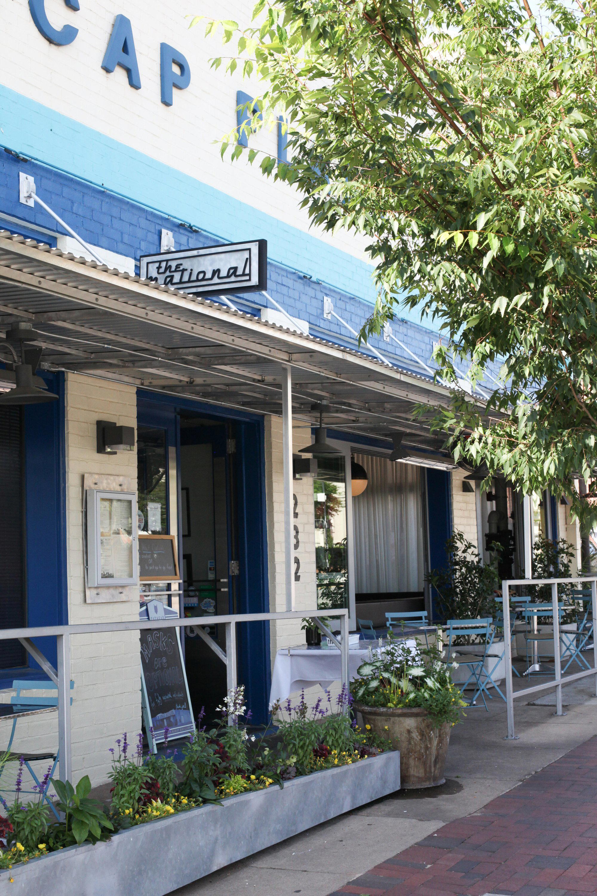
Athens has long operated as a city that rewards walking. Its dining and cultural identity developed at a pedestrian scale, and the Greenway extends that logic into the natural environment. Spending a morning on the trail before a long lunch at The National or an afternoon coffee stop at White Tiger Athens fits neatly into the Athens experience.
The Ritual of Moving Through a Place Before Sitting Down
There is a long tradition of pairing a meal with physical movement. A walk before lunch. The body arrives at the table differently after sustained outdoor time: appetite sharpened, pace slowed, attention available. The North Oconee River Greenway provides exactly that kind of preparation in Athens.
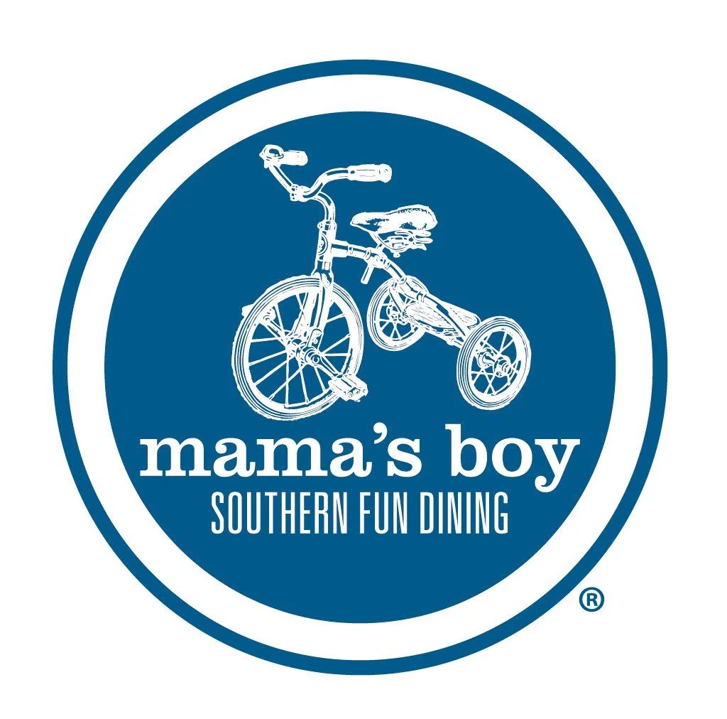
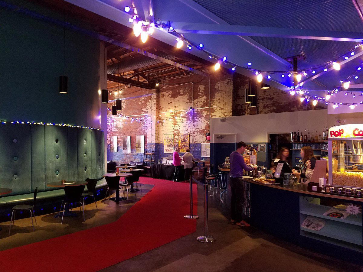
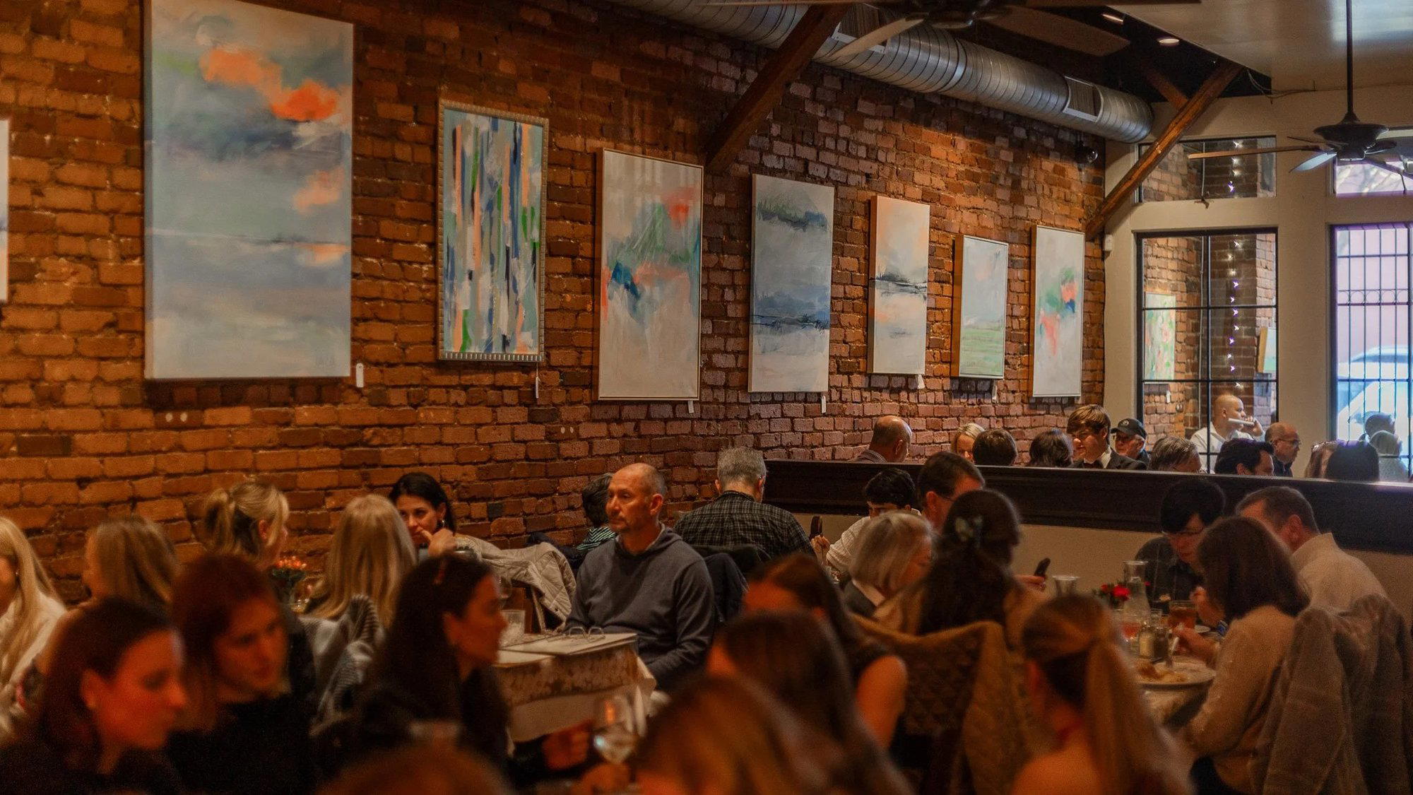
This is not incidental. Athens has a concentrated independent dining scene for a city of its size, and many of its better tables reward the kind of unhurried attention that a morning walk tends to produce. A counter seat at Ideal Bagel or a booth at Mama's Boy Restaurant sits differently after a trail hour than it does after a drive from a hotel parking lot. The pacing matters. In cities built around destination dining such as Blue Hill at Stone Barns in Tarrytown or Single Thread Farm in Healdsburg, guests sometimes travel through landscape before arriving at the table. The Greenway gives Athens a version of that approach at a genuinely accessible scale.
What the Trail Actually Covers
The North Oconee River Greenway runs along the river's northern branch, connecting several access points through Athens-Clarke County. The trail surface is paved, making it accessible to a wide range of users, and the route passes through a mix of natural riparian habitat and developed parkland. River-level views, particularly after rain when the North Oconee runs full, anchor the experience to the specific geography of the Piedmont South.
Access points distribute along the route, allowing walkers to pick shorter segments without committing to the full trail length. This matters practically for visitors structuring a day around both outdoor time and a dinner reservation. Arriving at the trail mid-morning, walking for an hour and a half, and exiting near a neighborhood restaurant is a workable itinerary in Athens without a car involved in the middle portion.
The Greenway connects to other Athens green spaces and links into the broader trail network in Clarke County. For visitors approaching Athens through its food and culture offering, the trail provides geographic orientation that a map alone does not. You understand where the river sits relative to downtown, where the older residential fabric begins, and how the city's different zones relate to one another once you have moved through them on foot.
Athens in Regional Context
Georgia's mid-sized college towns have developed distinct outdoor and culinary identities that differ from the state's metropolitan center. Athens sits in a tier of American university cities where independent dining culture and access to natural green space reinforce each other without either being fully subordinate. The Greenway is part of that pattern: a public amenity that extends the city's walkable identity beyond its commercial core.
Visitors who travel between dining destinations at the level of Le Bernardin in New York City, Lazy Bear in San Francisco, or Atomix in New York City sometimes overlook mid-sized American cities where the dining-to-green-space ratio produces a genuinely different kind of travel day. Athens rewards exactly that kind of itinerary: a Greenway morning followed by lunch at The Foundry, followed by an evening at a longer table.
For context on what the high end of American destination dining looks like elsewhere in the country, the gap between the Athens experience and, say, The French Laundry in Napa, Providence in Los Angeles, or Addison in San Diego is substantial in price and format. But Athens does not compete in that tier. It competes on the strength of a walkable, independent, locally rooted identity that larger cities struggle to maintain at scale.
Planning a Day Around the Greenway
The trail is publicly accessible and free. The paved surface means it functions across most weather conditions short of ice. Morning visits tend to offer cooler temperatures and lower foot traffic, which matters in Georgia from late spring through early fall when midday heat becomes a real planning factor. A walk timed to finish before 11 a.m. in July or August places you ahead of the day's peak temperature and in position for a mid-morning stop.
Athens has convenient parking at several Greenway access points, though the trail's central utility is reducing car dependence within the part of a day spent using it. Visitors staying in downtown Athens accommodations can reach trailheads on foot from many hotel and short-term rental locations, which makes the Greenway a genuine pedestrian option rather than a drive-to-walk compromise.
International comparison points for farm-and-landscape-integrated dining experiences can be found at venues like Atelier Moessmer Norbert Niederkofler in Brunico or Smyth in Chicago, where the relationship between natural setting and the table has been developed into a formal program. The Greenway occupies a different register entirely, but the underlying instinct, that moving through landscape before eating changes both acts, is the same.
What It’s Closest To
Comparable venues nearby, for context on price, style, and recognition.
| Venue | Cuisine | Price | Notes |
|---|---|---|---|
| N Oconee River Greenway | Dining | Not listed | Athens Clarke County |
| Puma Yu's | Southeast Asian Small Plates | $$ | Southern Mill Complex |
| Ideal Bagel | New York-Style Bagels & Sandwiches | $ | Downtown Athens |
| The Foundry | Southern American Gastropub | $$ | Downtown Athens |
| Weaver D's | Southern Soul Food | $ | East Athens |
| White Tiger Athens | Southern BBQ and Burgers | $$ | Historic Boulevard District |


At a Glance
- Casual Hangout
- Waterfront
- Waterfront
Natural outdoor greenspace with wooded areas, river views, and peaceful recreational atmosphere.